
A place on a map is not a skydive. The interesting part is everything between “I want to jump there” and being able to put an airplane over it.

Some of the best places to skydive aren’t dropzones.
A piece of private property you’ve always wanted to land on. A mountain valley you’ve looked at from the ground for years. A stretch of desert you’ve only ever seen from the road. A wingsuit line you’ve wondered how anyone would put an airplane over.
The idea is the easy part. Almost everyone who jumps has one.
What makes it hard is that a landing area on a map is not a landing area. It is a proposal. Turning it into a jump means answering a set of questions about that specific place, and the answers decide whether it can happen at all.
Satellite imagery will tell you a place looks open. It won’t tell you whether you can land there.
That takes going and looking: the terrain, the shape and size of the area, how you reach it on the ground.
Before planning the jump, we need to know who owns the ground and how we can access it.
Private property needs the landowner’s permission. Some operations need permits — MyDive has run retreats into permitted BLM landing zones, and permitted is the operative word. Others need coordination with landowners and local operators before anything gets planned around them.
Landowners, operators and the people who know a given piece of country are the ones who decide whether an idea is workable. Those conversations are most of the work, and they’re rarely the part anyone pictures when they imagine the jump.
Permission to land somewhere gets you halfway. The jump still has to work from the air.
Which airport makes sense as a base, how far it sits from the landing area, what the airspace overhead looks like — all of it is part of planning an operation around a location. Red Rocket, MyDive’s turbocharged Cessna 206, travels to these jumps rather than waiting at a field for people to come to it.
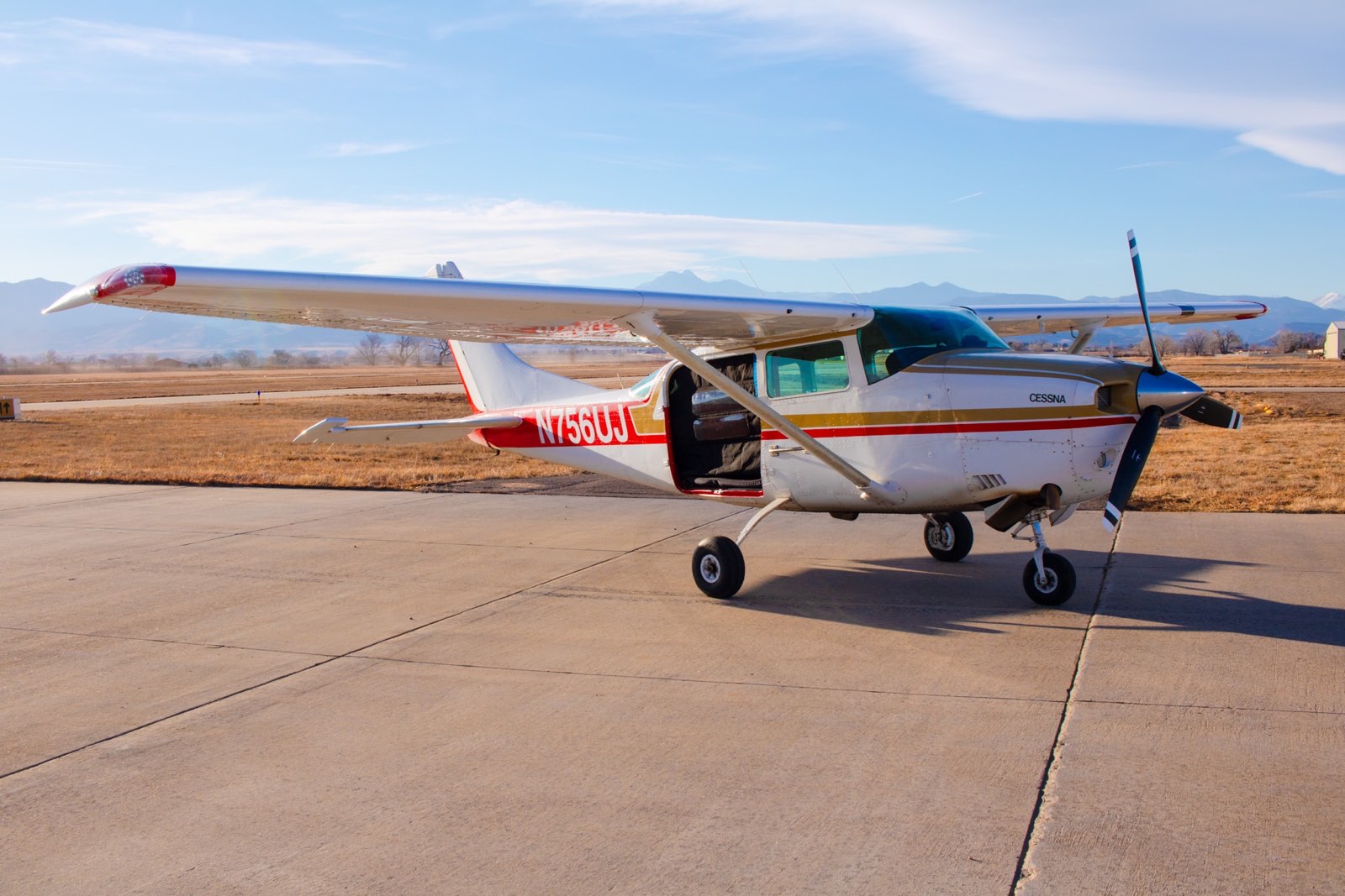
People who land somewhere that isn’t a DZ still have to get back, and gear has to get from where it lands to wherever the next load leaves from. Ground access and logistics help decide whether a location works at all.
Weather belongs to the same question. A location comes with conditions, and the operating window is part of working out whether and how the jump happens.
You don’t need to have any of this figured out — which airport makes sense, whether the airspace works, who owns the ground. That part is ours.
Most of it starts the same way anyway: somebody looking at a place and wondering whether it would go.